Topographic mapping services play a vital role in understanding and representing the natural and man-made features of the Earth’s surface. These services utilize advanced technologies and methodologies to create detailed and accurate maps that provide valuable insights for a wide range of applications. This article delves into the world of topographic mapping services, exploring their importance, methodologies, and the diverse industries they serve.
Understanding Topographic Mapping Services
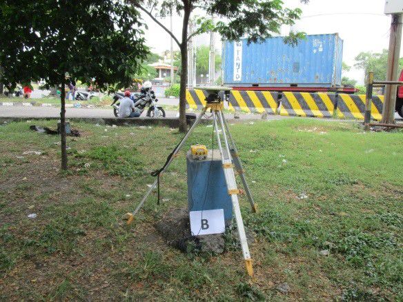
Topographic mapping involves the creation of maps that depict the three-dimensional features of a landscape, including its elevation, contours, vegetation, water bodies, and human-made structures. These maps provide a comprehensive overview of the terrain, enabling various sectors to make informed decisions related to development, planning, and environmental management.
Importance and Applications
- Urban Planning: City planners rely on topographic maps to analyze the land’s characteristics and make informed decisions about zoning, infrastructure placement, and land use. This data ensures that urban development is aligned with the natural landscape.
- Engineering and Construction: Topographic mapping is crucial in engineering projects such as road construction, building design, and utility planning. It helps engineers understand the terrain, make precise calculations, and design structures that harmonize with the landscape.
- Environmental Conservation: Conservationists use topographic maps to identify sensitive habitats, watersheds, and other ecologically significant areas. This information aids in making decisions that protect biodiversity and minimize environmental impact.
- Disaster Management: In disaster-prone regions, topographic mapping supports disaster preparedness and response by providing insights into potential flood zones, landslide-prone areas, and evacuation routes.
- Natural Resource Management: Topographic maps assist in the sustainable management of natural resources like forests, water bodies, and agricultural land. They aid in decision-making regarding resource allocation and utilization.
Methodologies of Topographic Mapping
- Remote Sensing: Satellite imagery and aerial photography capture detailed images of the Earth’s surface, which are then used to create topographic maps.
- Laser Scanning (LiDAR): LiDAR technology measures distances using laser light, producing highly accurate elevation data. This data is used to create precise topographic maps.
- Global Positioning System (GPS): GPS technology provides accurate positioning information, contributing to the creation of detailed maps that show geographical coordinates.
- Surveying and Ground Control: Field surveys involve collecting data on the ground to verify and enhance the accuracy of topographic maps.
Benefits for Various Industries
- Urban Development: Architects and urban planners use topographic maps to design structures that are compatible with the terrain, minimizing construction challenges.
- Infrastructure Projects: Engineers rely on accurate topographic data for designing roads, bridges, pipelines, and other critical infrastructure elements.
- Environmental Impact Assessment: Topographic maps assist in evaluating potential environmental impacts before initiating development projects, ensuring sustainability.
- Emergency Services: First responders and disaster management teams use topographic maps to plan evacuation routes and response strategies.
- Natural Resource Management: Foresters, agriculturists, and water resource managers utilize topographic data for informed decision-making about land use and resource allocation.
Advancements in Topographic Mapping Services
- Digital Mapping: Digital technologies have revolutionized topographic mapping, allowing for quicker data collection, analysis, and dissemination.
- 3D Visualization: Modern topographic maps can be displayed in 3D, providing a more realistic representation of the terrain and aiding in better decision-making.
- GIS Integration: Geographic Information Systems (GIS) integrate topographic data with other spatial information, enabling complex analysis and informed decision-making.
Best Topographic Mapping Services? Contact us!
Topographic mapping services provide a comprehensive view of the Earth’s surface, aiding in urban planning, engineering, environmental conservation, disaster management, and natural resource management. By harnessing advanced technologies and methodologies, these services ensure accurate representations of landscapes and support a variety of industries in making informed, sustainable decisions. As technology continues to evolve, the role of topographic mapping services remains crucial in navigating the intricate landscapes of our ever-changing world.